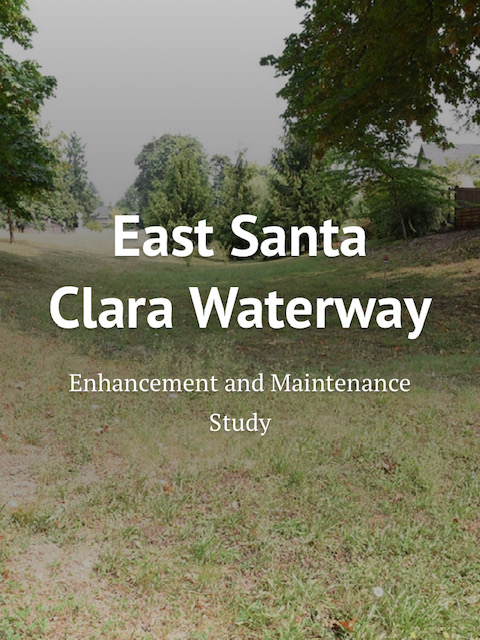
The City of Eugene and Lane County have partnered for a study of a 3/4-mile segment of the East Santa Clara Waterway. The waterway has historically been a route for surface water to travel from the surrounding area northward to the Willamette River. Over time, with land development in the surrounding area and various activities within the channel itself, the amount of surface water flowing through the waterway has increased while at the same time the capacity of the channel to move it has decreased. This has created complications for some residents and warrants a closer look to ensure public health and safety while making sure we continue to return clean water back to the river.
The project team has done some initial research on the waterway and surrounding area, and would now like to hear from those living along this stretch of waterway. The team is hoping to achieve a good understanding from neighbors about conditions and identify any ideas about solutions to problems along the waterway.
The project team has created a presentation at bit.ly/esantaclarawater to share with you –what they see as the challenges and opportunities along this stretch of waterway. There is also a short survey at the end of the web page where people can share their observations and ideas.


